

2015 - Lanzarote, Canary Islands
Lanzarote’s volcanic ground gives the island much of its character. Dark lava fields, reddish slopes and scattered vegetation meet the Atlantic along a coastline of cliffs, beaches and bays. These photographs bring together different parts of the island from my visit in 2015.
Around Timanfaya and Los Volcanes, the landscape is shaped by craters and uneven expanses of lava. Colour is often restrained, but the surfaces are varied: loose fragments, ridges and broad slopes catch the light differently. Small changes in viewpoint can separate forms that initially seem to merge into one another.
La Geria introduces a different pattern. Vines grow in hollows in the volcanic ground, protected by low stone walls. Their repeated shapes show how cultivation has adapted to the island’s conditions, creating a landscape that is both practical and visually distinctive.
Along the coast, the water changes the setting again. Famara opens into a broad sweep of beach, while El Golfo brings volcanic rock close to the ocean. The gallery also includes La Graciosa, the neighbouring island to the north.
Together, these views describe a place through its ground, its coastline and the ways people have learned to work with it. The volcanic terrain remains the connection between them, even where the sea or cultivated land takes over the photograph.

Playa Famara

El Golfo

Parque Nacional de Timanfaya

Ruta del Fuego

Ruta del Fuego

Parque Nacional de Timanfaya

La Geria

Ruta del Fuego

Ruta del Fuego

Ruta del Fuego

Parque Nacional de Timanfaya

Parque Nacional de Timanfaya

La Graciosa

La Graciosa

Parque Natural de Los Volcanes
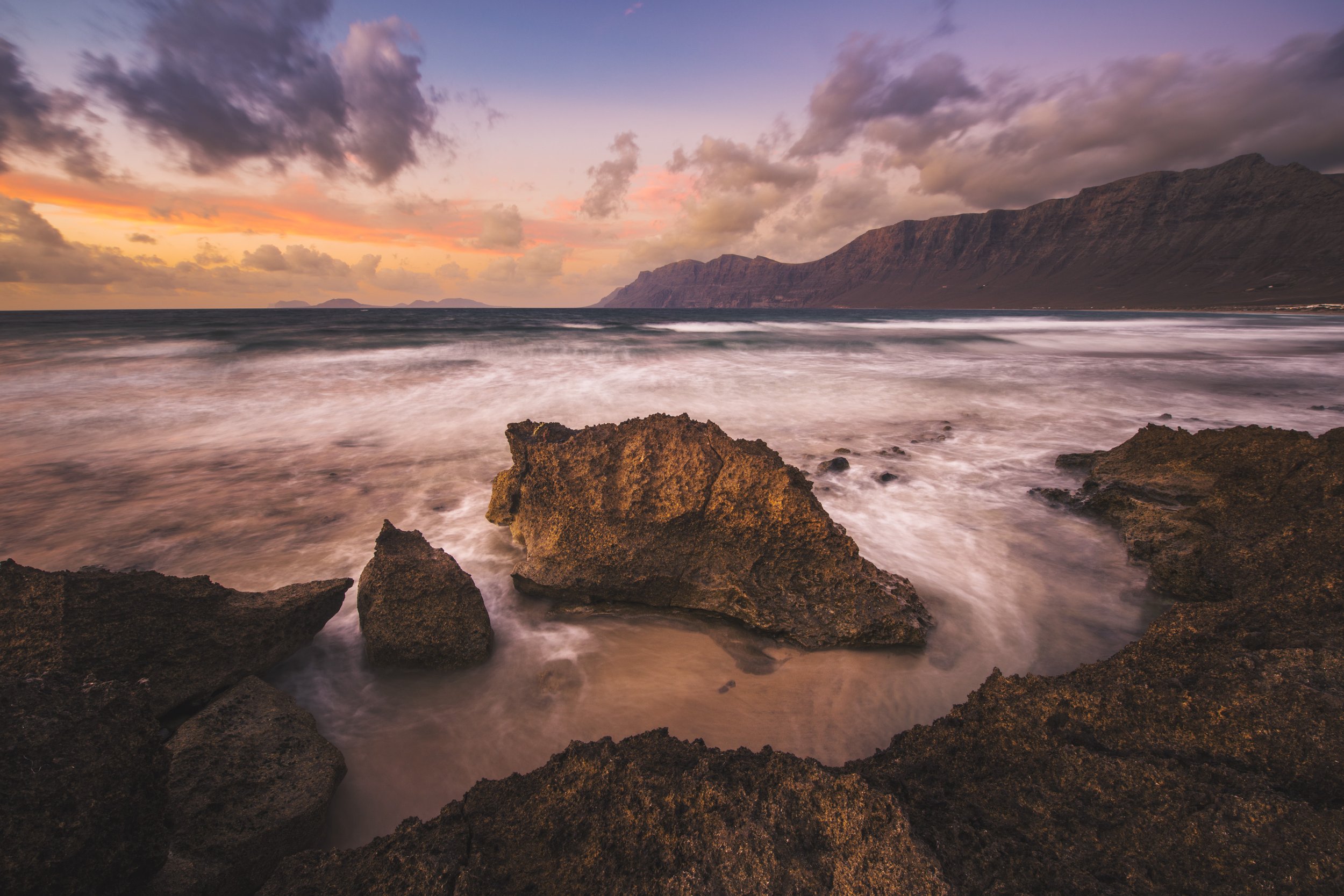
Playa Famara

Parque Natural de Los Volcanes

Parque Natural de Los Volcanes